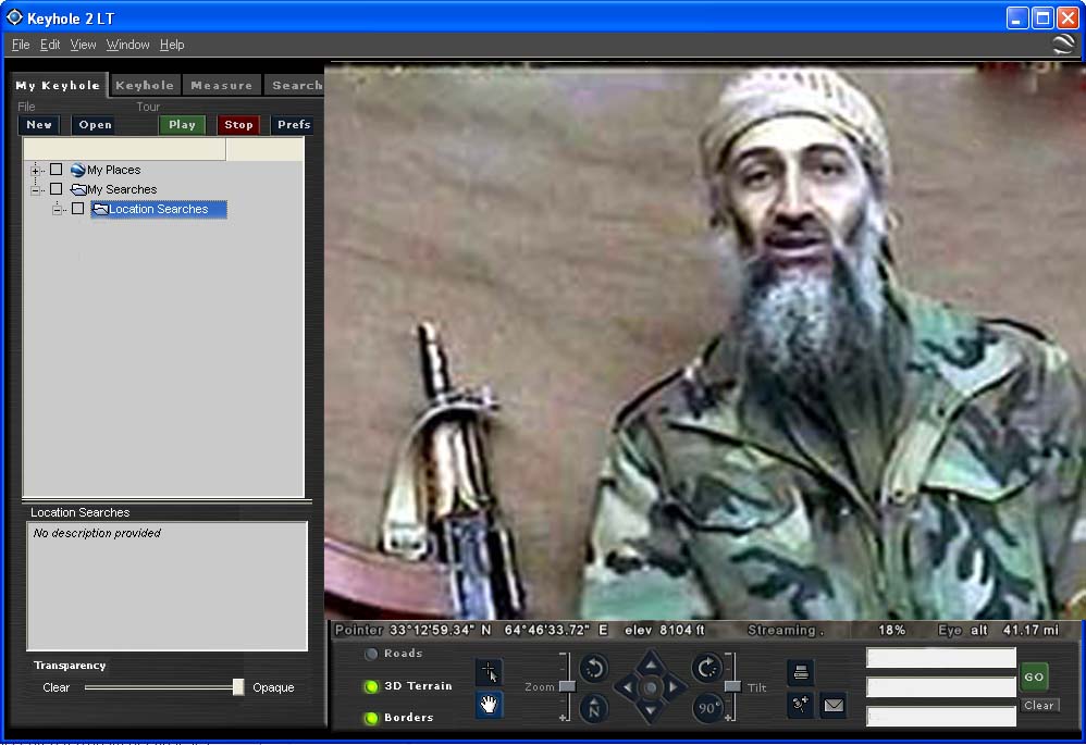
That is amazing. I zoomed in on Afghanistan and found the attached.
If you aren't familiar with the Microsoft Terraserver it has 1 meter resolution of the entire US. There are lots of programs to automatically download it including USA Photomaps which will link to a gps.

 Previous Topic
 Index
Index
