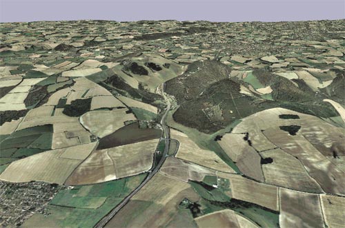
I use some neat software called Memory Map - it has the 1:50,000 Landranger maps for the UK and the aerial mapping, although the resolution isn't nearly as high res as these.
The neat thing about memory map is that it can build a 3D image from the aerial mapping using the elevation data from Landranger maps - screenshot attached.

 Previous Topic
 Index
Index
